On foot · South Iceland · August 2017
The Fimmvörðuháls, between two glaciers
Thirty kilometres on foot from Þórsmörk to Skógar, between Eyjafjallajökull and Mýrdalsjökull: green canyons, the red slopes of the 2010 craters, snowfields in August, then the Skógá and its waterfalls.
- Date
- August 2017
- Distance
- 30 km
- Route
- Þórsmörk → Skógar
The route · indicative
The climb
From the valley of the gods
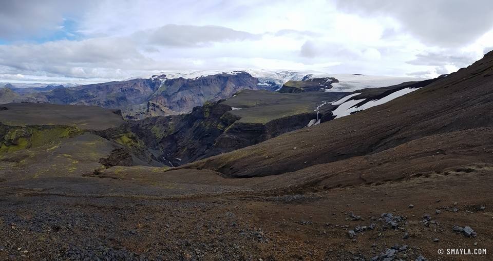
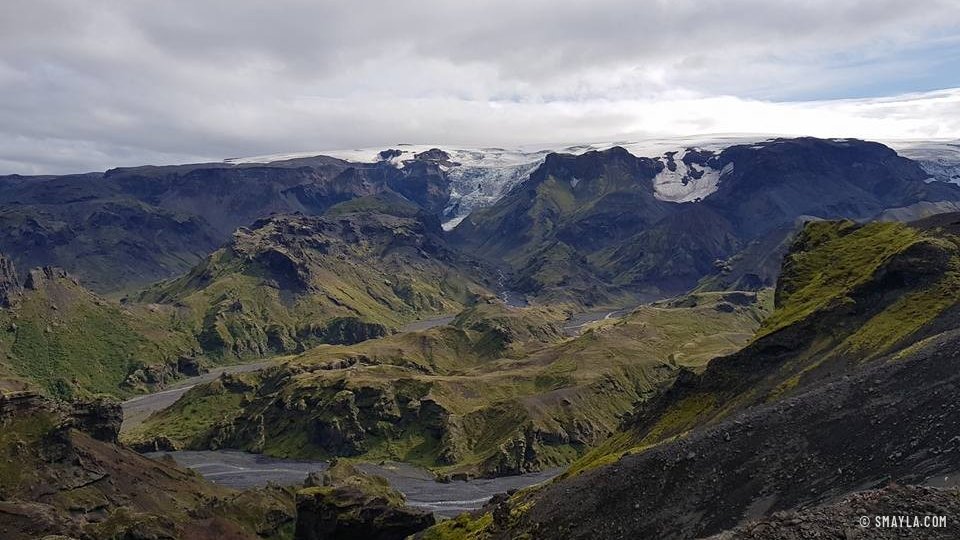
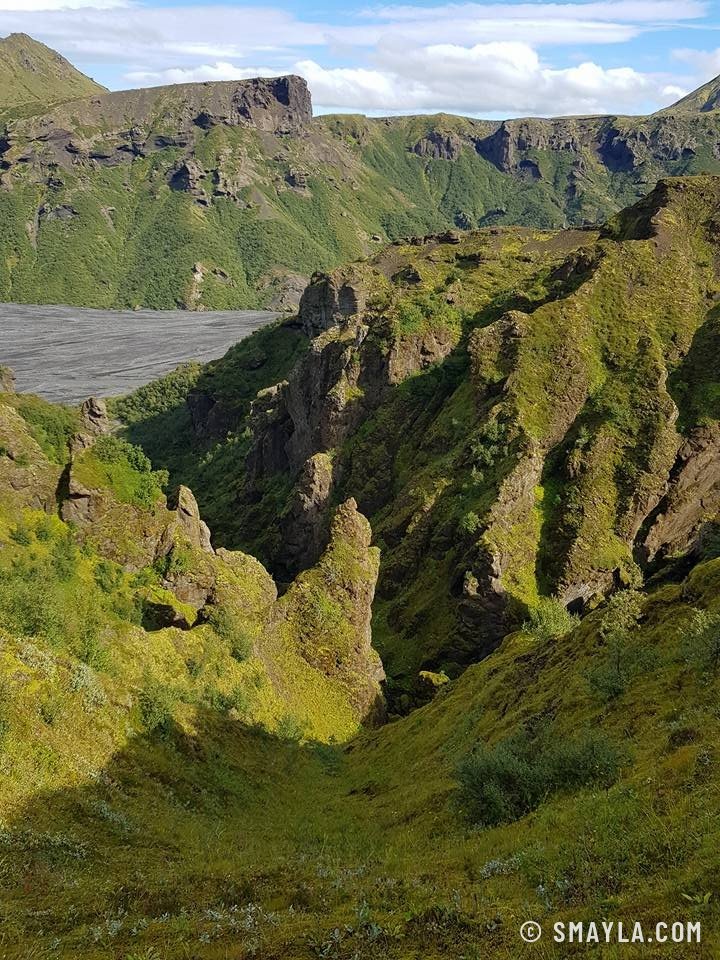
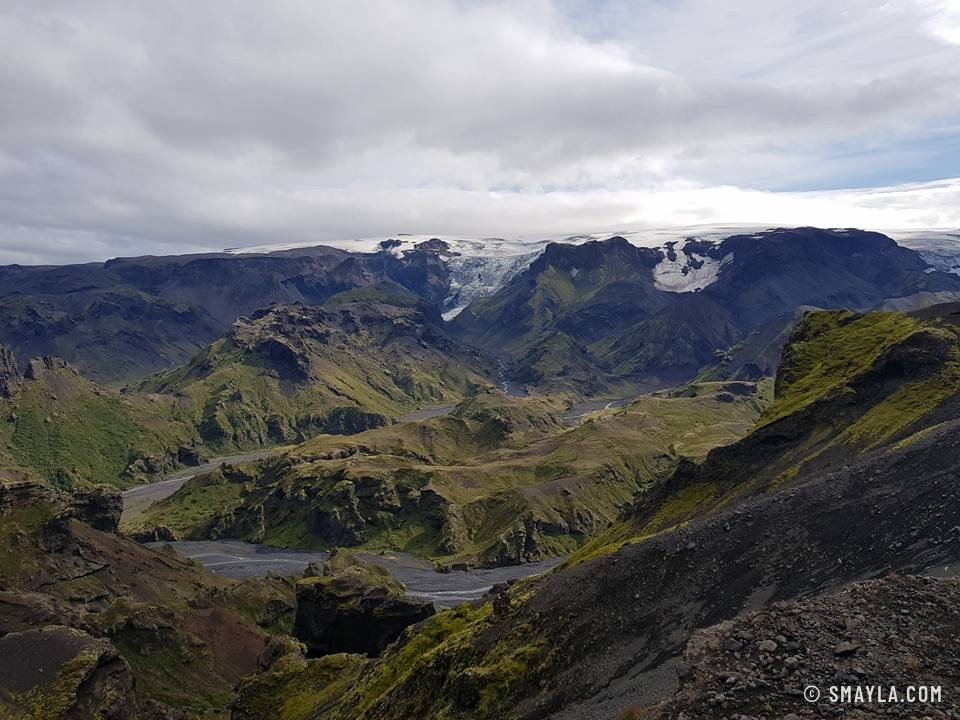
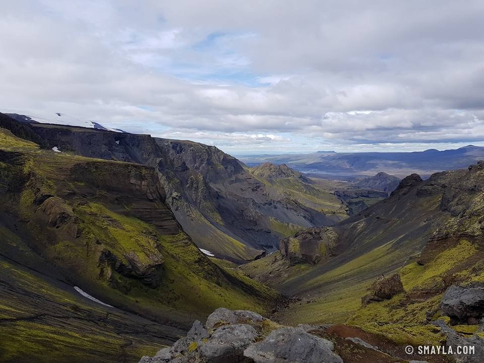
The path leaves Þórsmörk through moss-lined gorges, then climbs onto ridges with views over the valleys, their braided rivers and, in the distance, the glacier tongues.
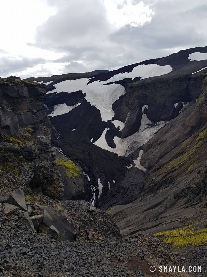
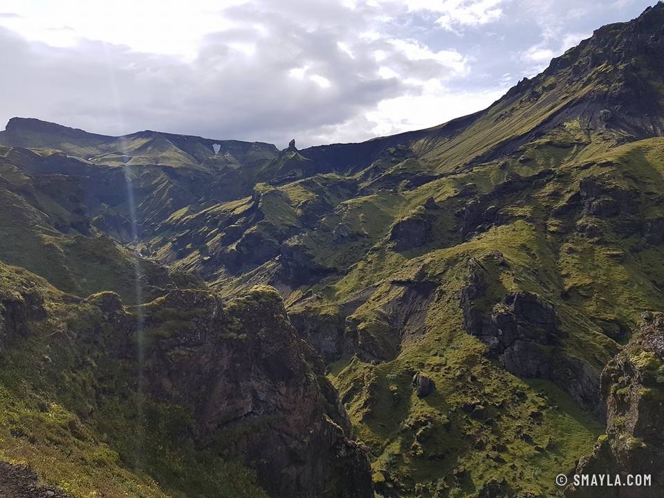
The higher you go, the more the green recedes. The landscape turns mineral, brown and black, with the glaciers closing in on both sides.
The pass and the descent
Volcanoes, snowfields and waterfalls
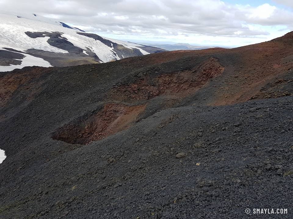
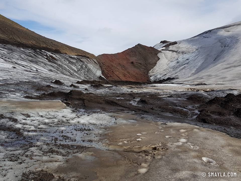
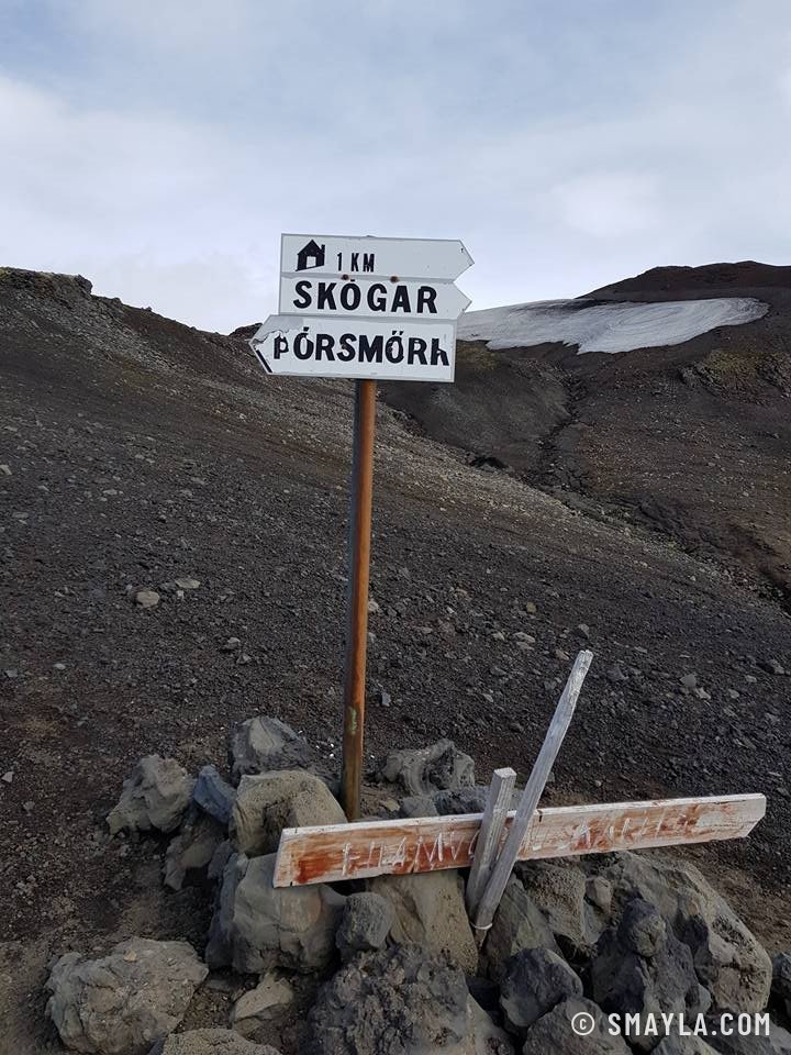
At the pass, snow still lies in the middle of August, between the red slopes of the craters born in the 2010 eruption. A signpost points to Skógar one way and Þórsmörk the other: halfway, between the two glaciers.
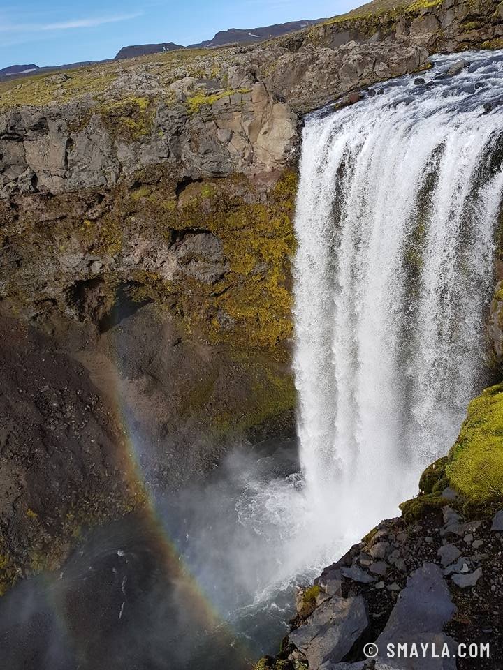
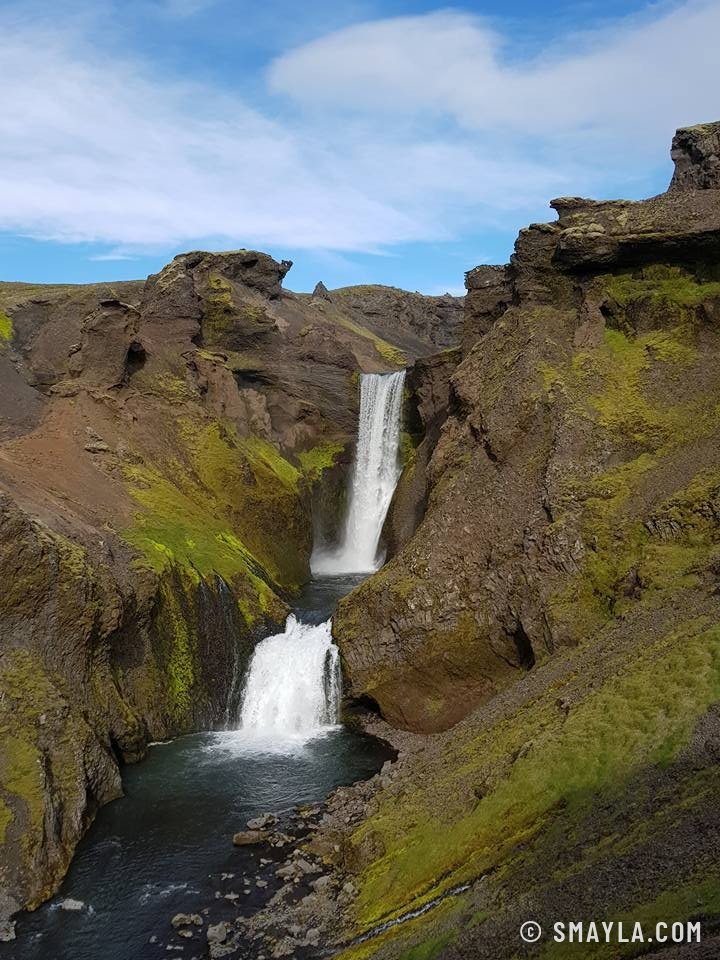
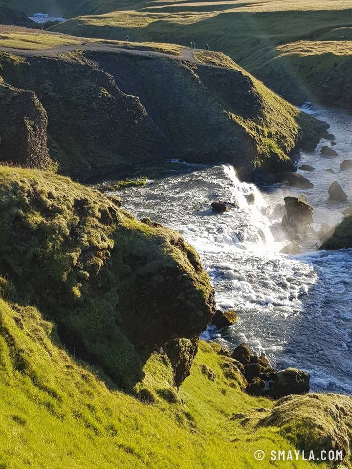
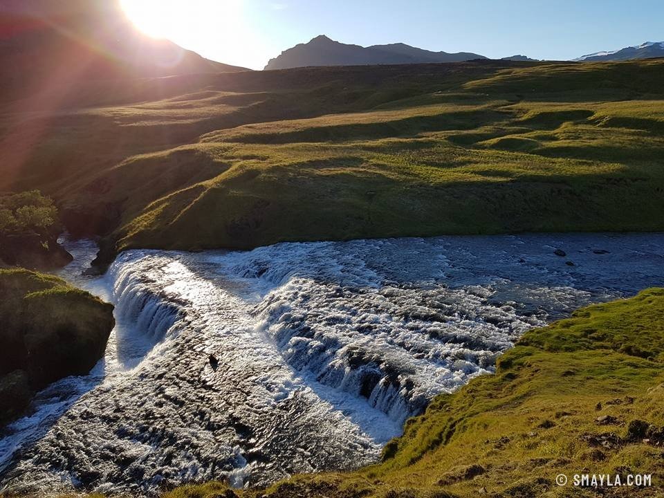
The descent then follows the Skógá, one waterfall after another, some double, one with its rainbow, down to the great falls of Skógafoss. Thirty kilometres between volcanoes, glaciers and waterfalls.